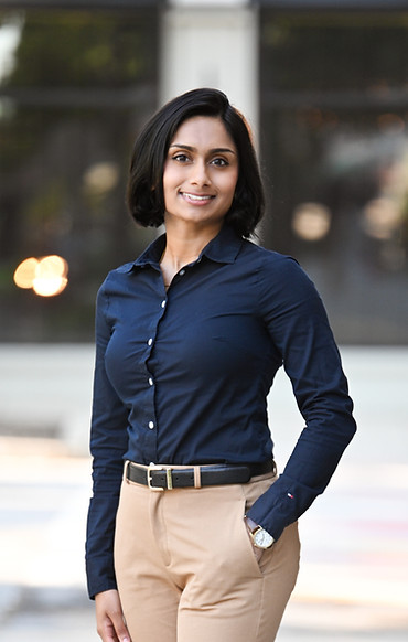
Sanica
Manglorkar
Hi there! I'm an urban planner and analyst with a focus on climate adaptation, equity, and thoughtful planning and design. I bring a blend of technical expertise and holistic thinking to every project I undertake, having a strong foundation in GIS, sustainability efforts, and experience in the public sector.
My Portfolio
Here's a sample of projects I've worked on. Explore to learn more about what I do.


About Me.
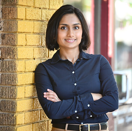
I originally grew up in the Metro-Atlanta suburbs and moved to the city itself during undergrad — and I've stayed in Atlanta ever since! My interests in climate resilience, data visualization, public health, and equity naturally lead me to Georgia Tech’s interdisciplinary MCRP program. In my free time, I enjoy exploring the city with my dogs, playing video games (mostly JRPGs), practicing yoga, and complaining about heavy duty trucks.
Education
Master of City & Regional Planning
Georgia Institute of Technology
Class of 2025
I have completed my Master's degree in City and Regional Planning from Georgia Tech, with an Environment and Health specialization, and certificates in Geographic Information Systems (GIS) and Sustainable Environment & Energy Management (SEEM). My coursework includes Policy Tools for Environmental Management, Climate Change & the City, Public Health & the Built Environment, Visualization for Planners, Environmental GIS, and Paleoclimatology & Paleoceanography.
Bachelor of Science in Geosciences
Georgia State University
Class of 2021
I have completed my Bachelor's degree in Geosciences with a concentration in Environmental Geosciences from Georgia State University, and certificates in Geographic Information Science (GIS) and Sustainability. I developed a strong foundation in data visualization and problem-solving during my time here. My coursework included Advanced GIS, Environmental Conservation, Political Geography, Global Climate Change, and Urban Environments.
Work Experience
Planning & Projects Intern
Cumberland Community Improvement District
Aug 2024 - July 2025
As a Planning and Projects Intern, I supported the Planning Director and Manager in various capital improvement projects, including the Paces Mill Park Rehabilitation and LCI Placemaking Initiative. My role involved assisting with land-use, transportation, and demographic data collection, processing, and analysis, as well as compiling technical reports, maps, and presentations. My responsibilities also included maintaining the CCID’s online GIS database, enhancing the district’s record-keeping system, and developing AGOL applications to document the CID's initiatives. In this role I actively learned about planning regulations, geographic development, and best practices for communicating effectively with stakeholders.
Transportation Data Intern
Georgia Department of Transportation
May 2024 - Aug 2024
During my time with the Transportation Data Geospatial team, I played a key role in several projects, including the implementation of the first phase of the multi-phase Moving Ahead for Progress in the 21st Century Act, or MAP-21 program, which involved collaboration with multiple organizations. I updated the enterprise geodatabase in a versioned environment using data provided by the state’s regional commissions. Additionally, I served as a liaison between management and local governments, coordinating updates to road networks and incorporating local construction projects. My work also included producing 11 comprehensive city and county maps for local governments and contributing to an intersection verification project.
Graduate Research Assistant
School of Civil and Environmental Engineering, Georgia Institute of Technology
Oct 2023 - Aug 2024
I was a part of the Field Intersection Inspections Admin team for Dr. Randall Guensler's Safe Trips in a Connected Transportation Network Program, a USDOT Intelligent Transportation Systems (IT4US) funded project to develop an ADA compliant navigation system of sidewalks and roads in Gwinnett County, GA. On the team, I planned and created route trip maps for wheelchair sidewalk and field intersection inspection data collection in ArcGIS Pro and QGIS. In addition, I was involved in field data collection as well as spatial editing, updating centerline street data, and QA/QC of sensor data in OpenStreetMaps.
Asset Management Technician
Forsyth County Government
Aug 2022 - Aug 2023
As an asset management technician with Forsyth County’s Water & Sewer department, I helped manage the county’s online water and sewer database using the ArcGIS suite and Cityworks platform. I created maps featuring water/sewer line systems & subdivision plats, and drafted QA/QC reports for the department’s engineering division. If any discrepancies were reported by on-site construction inspectors or project managers who use the network, I referenced as-builts and personally conduct field investigations to resolve the issue. I surveyed new and existing water assets using Leica GS14 GNSS RTK system and Leica Captivate software.
Undergraduate Research Fellow
The Earth Institute, Columbia University
Jun 2021 - Aug 2021
As a NSF REU intern with Columbia University’s Earth Institute,I worked under two of their climate scientists, Dr. Susana Adamo and Dr. Alex de Sherbinin, on a preliminary analysis of the anthropological effects of Hurricane Mitch on Honduras. I identified the importance of the study due to the increased rates of natural disasters most likely due to climate change. I amassed net migration census data from the 1988 to 2013 Honduras census to find correlations in migration trends and created a “directly affected” index to display the
toll of the hurricane on a sub-national level in the country using QGIS. These variables were then combined with relevant poverty indexes to create a correlation coefficient table with the intent of finding interrelations between variables.
Sustainability Fellow
Georgia State University
Jun 2021 - Aug 2021
Through Georgia State's Sustainability Fellowship Program, I participated in sustainability-outreach events through park cleanup volunteer work and coordinating with Atlanta Public School teachers to educate students on different renewable energy sources. I demonstrated my learned research skills in a poster presentation.